Our team have developed a new software tool that allows the user to automate the data calculation for preparation of Integrated Public Transport Plans (IPTP). Public transportation optimisation and effective transport reforms are top priorities of our work.
Over the course of two years, we have completed many assignments for preparation of IPTP; all of them had very tight deadlines. That is why we had to develop our own tool that allows reducing the time for data calculation and uploading.
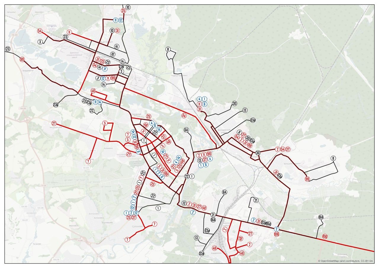
This new software tool allows the user to automate the calculation of route straightness and duplication. Before it was necessary to use several platforms - QGIS, PTV, and FME, and collect initial data from OSM, Yandex and the city administration as well.
We have minimized the “manual work” and made the process much easier:
Here is an example of how effective our tool is: it now takes about 15 minutes to perform the calculation for a city with a population of 300 thousand people. Before, it took a whole day!
This innovation was implemented in our company thanks to active cooperation and interaction between our transport planning department and GIS design department.
We are actively using the new product in our projects and planning to offer it in the industry market.
Over the course of two years, we have completed many assignments for preparation of IPTP; all of them had very tight deadlines. That is why we had to develop our own tool that allows reducing the time for data calculation and uploading.
This new software tool allows the user to automate the calculation of route straightness and duplication. Before it was necessary to use several platforms - QGIS, PTV, and FME, and collect initial data from OSM, Yandex and the city administration as well.
We have minimized the “manual work” and made the process much easier:
- The user launches the software, specifies the city, and loads the list of stops according to the template.
- The system itself downloads information about stops and checks the data relevance.
- Based on these data, an automatic calculation of route straightness and duplication is performed.
- Analysis results are uploaded to Excel or csv for further work in other software.
Here is an example of how effective our tool is: it now takes about 15 minutes to perform the calculation for a city with a population of 300 thousand people. Before, it took a whole day!
This innovation was implemented in our company thanks to active cooperation and interaction between our transport planning department and GIS design department.
We are actively using the new product in our projects and planning to offer it in the industry market.