СREATING SUSTAINABLE MOBILITY.
BOLDLY. FAIRLY. FOR YOURSELF.
BOLDLY. FAIRLY. FOR YOURSELF.
Transport planning
and modelling
and modelling

Traffic management
and roads design
and roads design

Development
of GIS Web Apps
of GIS Web Apps

Road inventory using
mobile laser scanning
mobile laser scanning

Road and bridge
diagnostics and inspection
diagnostics and inspection

ABOUT US
«Dornadzor» is one of the leaders of road desing. We constantly expand our capacities and professional skills.
We offer a broad range of services, including road design, road and bridge diagnostics and inspection, transport modelling, creation of digital twins, etc.
We offer a broad range of services, including road design, road and bridge diagnostics and inspection, transport modelling, creation of digital twins, etc.
We also perform aerial surveys, develop GIS products, and design our own equipment and software. We render consultancy services in traffic and public transport management, road safety audit, digital mapping, roads inventory and monitoring, obtaining of necessary permits and approvals, and other transport-related issues.
Among our clients are city administrations, federal and regional authorities and agencies, shopping malls, industrial enterprises, and real estate developers.
Among our clients are city administrations, federal and regional authorities and agencies, shopping malls, industrial enterprises, and real estate developers.
-
 10 years of experience
 -
 430 completed projects
 -
 8 mobile laboratories
 -
 150+ employees
SERVICES
Transport planning and modelling
Traffic management and roads design
Development of GIS Web Apps
Road inventory using mobile laser scanning
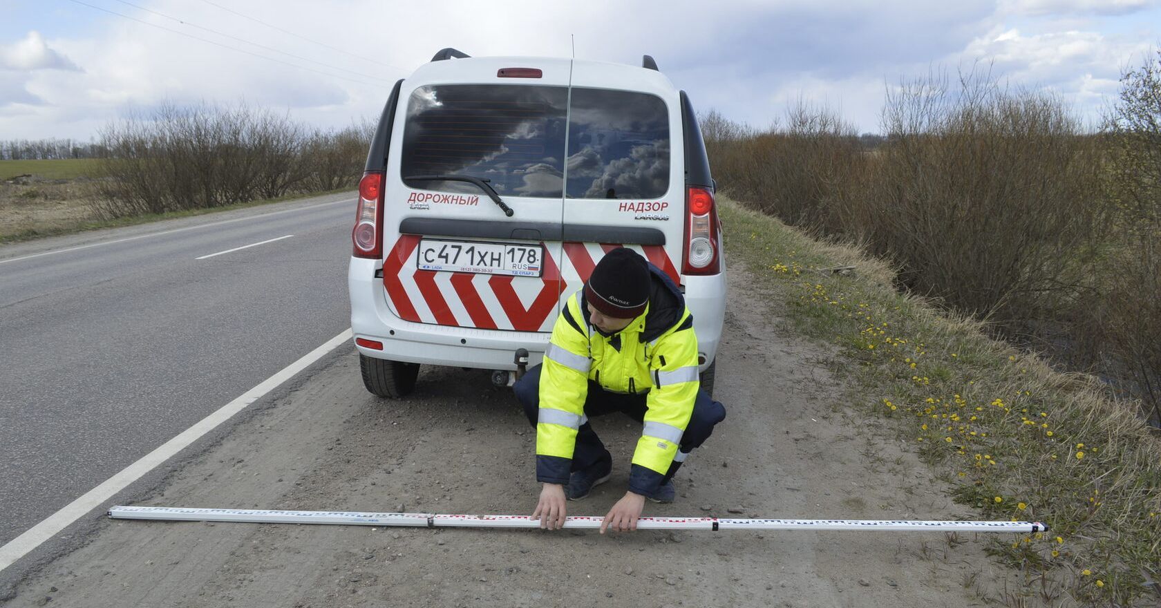
Road and bridge diagnostics and inspection
Transport planning is one of our key business areas. Our experts have extensive experience in developing transport master plans
and optimizing public transport networks.
The main tasks of such projects are:
and optimizing public transport networks.
The main tasks of such projects are:
- mobility management,
- preparation of transport system development plans,
- optimization of public transport networks,
- creation of efficient traffic interchanges and transportation hubs
Transport planning and modelling
Traffic management and roads design
Development of GIS Web Apps
Road inventory using mobile laser scanning
Road and bridge diagnostics and inspection
We work on traffic management and urban mobility projects of any complexity – from bike paths and parking areas to urban thoroughfares. We use state-of-art automated design software, which allows us to deliver our products faster and save the client’s money. We monitor trends in the road construction sector and apply innovative materials, advanced construction technologies and architectural solutions.
We suggest solutions for the following problems:
We suggest solutions for the following problems:
- Traffic jams at roads and crossings,
- No traffic lights,
- Road parameters not up to existing standards and users’ demands,
- No sidewalks, bike paths, lighting and other road safety elements, or their poor design.
Transport planning and modelling
Traffic management and roads design
Development of GIS Web Apps
Road inventory using mobile laser scanning
Road and bridge diagnostics and inspection
GIS web apps are flexible and scalable systems that ensure an effective workflow managing huge volumes of data. These apps provide a vast number of possibilities to analyse spatial characteristics and visualize big data, including transport accessibility, parking space availability, identification of illegally occupied land plots, etc.
Our teams have completed several important GIS-related projects that enable their users to work with transport infrastructure and improve road safety. The GIS modules we developed for these projects can be used for:
Completed GIS-related projects
Our teams have completed several important GIS-related projects that enable their users to work with transport infrastructure and improve road safety. The GIS modules we developed for these projects can be used for:
- Transport accessibility analysis;
- Road traffic safety analysis;
- Development of road digital twins.
Completed GIS-related projects
- Road accident GIS module that collects data across Russia and identifies accident concentration areas;
- Transport planning GIS module that provides comprehensive information on developments suggested in mobility planning documents;
- Public transport GIS module to analyse the effectiveness of public transport services;
- Infrastructure GIS module to enable digitalization of urban infrastructure elements - from traffic lights to garbage collection points.
Transport planning and modelling
Traffic management and roads design
Development of GIS Web Apps
Road inventory using mobile laser scanning
Road and bridge diagnostics and inspection
Mobile laser scanning is a fast and precise technology to capture detailed data from roads and surrounding objects.
Advantages:
Advantages:
- Higher speed of field works without loss in data quality;
- High accuracy of obtained data;
- No need for site visits due to possibility of 360° video recording;
- Partial automation of desk studies, road signs and infrastructure recognition based on point clouds;
- Possibility of creating the road infrastructure database.
- Technical passport;
- Inventory plan;
- Topographic plan;
- Digital model in *.LAZ.